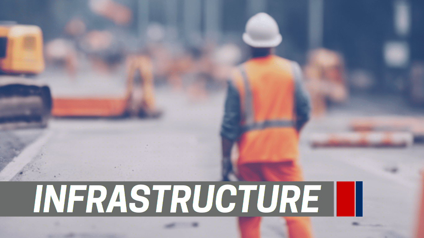
Public Infrastructure Executive Director Chris Griffith highlighted several key road improvements during the recent City Council Workshop held on September 12, 2024. Detailed plans for these projects will be available for viewing starting September 17 at 12:15 p.m. in a 20-minute CityTV video available here.
Griffith’s presentation to the City Council featured four major roadway projects: Rucker Lane Phase II, Old Fort Parkway widening, Blackman Road & Burnt Knob Intersection, and Asbury Lane Realignment. For those interested in a comprehensive list of current and planned enhancements, an interactive online map of Public Infrastructure Projects is available, illustrating how tax dollars are being utilized to improve roadways across Murfreesboro. Citizens can access this informative and interactive Google Earth page via the City’s website at www.murfreesborotn.gov/PublicInfrastructureProjects.
Latest TN News

The Public Infrastructure Projects map, also accessible on the City homepage www.murfreesborotn.gov, highlights major projects. It pinpoints the location of each project with an interactive slide detailing the roadway, project description, status, and estimated construction dates. Specific projects also include maps and photos.
City engineers and construction companies are continuously working to enhance traffic flow. The projects aim to widen sections of roadway, add turn lanes to enhance traffic flow, resurface major corridors, upgrade traffic signal systems, and realign roadways for improved connections.
For questions about road improvement projects, the public is encouraged to contact Public Infrastructure Executive Director Chris Griffith at [email protected]. For City News online, visit www.Murfreesborotn.gov.
Source: Read Original Release
Nashville Mayor Unveils New Transit Maps
Mayor Freddie O’Connell has launched interactive maps to enhance the Choose How You Move initiative, which aims to improve navigation and access to essential community resources in Nashville. The maps detail connections to schools, parks, and other vital locations, highlighting the benefits of the proposed transportation improvements that will be decided by Davidson County voters on November 5. The program, funded by a proposed half-penny sales tax, includes extensive sidewalk and intersection upgrades, continuous transit service, and smart traffic signals. Residents can learn more or request a presentation from the transit team through an online link.